No sign-up. Nothing to install. Works in the browser · export GPX, .vmr or a printable roadbook.
The route, and the roadbook it becomes
What it is
Tulip Maps is a modern roadbook creator.
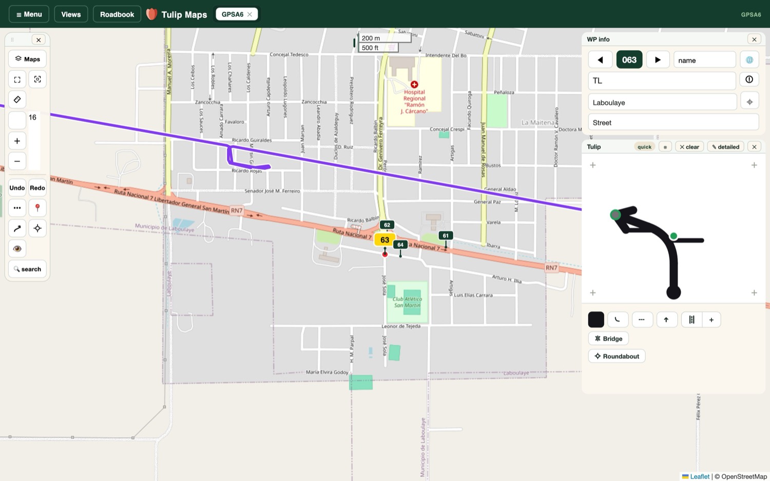
Draw a route on the map or bring in one you recorded, drag every point exactly where it belongs, add the notes and signs that matter, and turn the whole thing into a beautiful roadbook — the kind rally crews, tour organisers and road-trippers actually navigate by. Made by Virtual Marshal, and used on real events.
How it works
Three steps, no manual.
Draw or record
Trace the route on the map and it follows the roads — or import a drive you recorded on your phone. Town and street names fill themselves in as you go.
Tidy every turn
Drag any point to nudge it into place. Drop waypoints, notes and the official road signs exactly where they belong. Nothing locks — move it until it's right.
Share the roadbook
Each junction becomes a clear little diagram. Export a printable roadbook, a GPX that opens anywhere, or a .vmr — ready to follow, or to drop into a Virtual Marshal event.
Features
Everything a good roadbook needs.
Five tools, one calm studio — from the first point on the map to the printed page.
Hover a feature to watch it work
The phone app
Drive the route. The app writes it down.
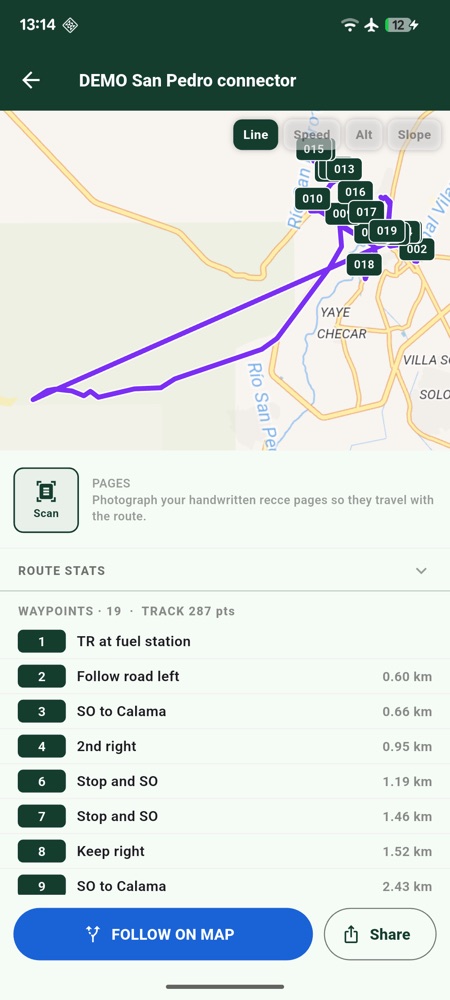
Tulip Maps on your phone is the other half of the job: it records the road as you drive it, so the roadbook you draw at home sits on the line you actually took — not on a guess from a paper map.
Record your trackHit record and it lays down the exact line you drove, start to finish, at full GPS rate.
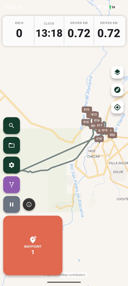
Add waypoints and photosOne press drops a waypoint where you are — with a photo and a voice note for the tricky bits.
Follow a routeLoad a planned route or a finished roadbook and drive it, with the line and the waypoints on screen.
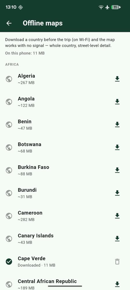
Download mapsTake whole countries with you. Once a map pack is on the phone it needs no signal at all.
In testing now on Android — and you can have it today:
download it from here.
The store listings open when testing's done; the app is free, and everything you
record is yours to export.
Real screens, straight off the phone.
Two words, quickly
What's a tulip? What's a roadbook?
What is a tulip?
The little junction picture in a roadbook: a ball for the road you arrive on, an arrow for the road you leave by. Drawn with a stem and a bloom, it looks like a flower — rally folk have called them tulips since the Tulip Rally made them famous.
The navigator's book: one row per instruction — a tulip, the distance, a few words — read top to bottom from start to finish. It's how rallies, raids and grand tours navigate without a map, and it's the thing Tulip Maps exists to create.
2.15 · TL at xroad
one row of a roadbook — tulip, distance, instruction